
| Date: | Sunday October 23 |
| Hike Leader: | Andrea Moses |
| Distance: | 15km |
| Pace: | Moderate |
| Difficulty: | Level 2 |
| Start at Trailhead: | 11:30am |
We cancelled due to weather last week. Let's try again!
 In your Bruce Trail
Reference, look for map 18.
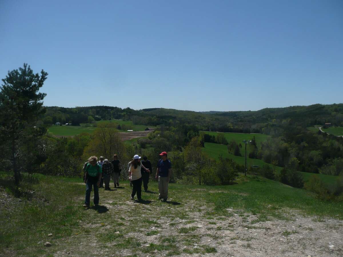
The photo is from May 2009.
In your Bruce Trail
Reference, look for map 18.
The photo is from May 2009.
From our meeting point at Yonge and York Mills.
The hike will start at around 11:30am.
Google Maps sends you up Highways 410 and 10. You drive through Orangeville, and watch for the signs. We know that the signs on Airport Road are prominent. We don't know what the landmarks are from the west side.
The hike will be thirteen to fifteen kilometers with lots of hills. Wear your hiking boots and be ready for a workout.
| Last modified: 2016Oct12 | High Park Hiking Club | Webmaster: Howard Gibson |
|