
| Date: | Sunday September 18 |
| Hike Leader: | Gerry Dombrower |
| Distance: | 13km |
| Pace: | Moderate |
| Difficulty: | Level 2 |
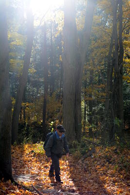 We start at Rattlesnake Point and we hike across the valley to
and around Crawford Lake.
We start at Rattlesnake Point and we hike across the valley to
and around Crawford Lake.
There is an admission fee to the park, which you can share with your passengers from carpooling if you have any. We will meet in the upper parking lot, and we will try to get going at 11:15am.
This hike is level 2 with some serious hills and some excellent lookouts. Bring a camera.
How about Portabellos Pizza & Eatery? Drive south from Rattlesnake point to Derry Road. Drive east on Derry Road a bit over nine kilometres, past Thompson Road. It is on the southwest corner of Derry Road and Trudeau Drive. Here it is on Google Maps! If you reach James Snow parkway, you have past it.
| Last updated 2016Sep14 | High Park Hiking Club | Webmaster: Howard Gibson |
|